BlackSky Awarded NRO Contract Modification to Accelerate Development of AROS as Critical Commercial Alternative for Foundation Imaging
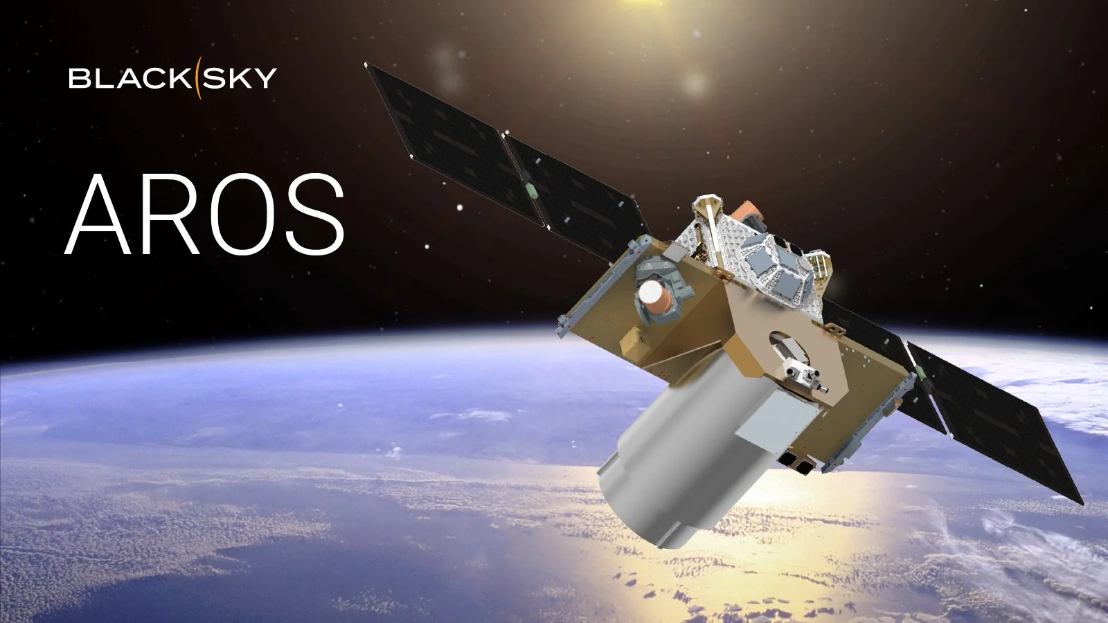
BlackSky's AROS satellites will be designed to support dynamic country-scale digital mapping, navigation, maritime situational awareness and 3D digital twin applications. The AROS system will operate as an integrated extension of the company’s existing fleet, incorporating BlackSky’s space, software and platform stack and unlocking an entirely new class of scalable, AI capabilities.
BlackSky Technology Inc. (NYSE: BKSY) was awarded a contract modification to its existing National Reconnaissance Office (NRO) contract to accelerate the development of the company’s AROS broad area collection satellites as a critical commercial alternative to current suppliers for foundation imagery. The effort funds a direct path toward a flight ready multi-spectral, large-area mapping spacecraft and foundation data collection system in 2028.
“Developing BlackSky’s AROS constellation in partnership with the U.S. government cements a major step in securing U.S. global space competitiveness, resilience and maintaining critical operational continuity as commercially available foundation data becomes capacity-constrained in the coming years,” said Brian O’Toole, BlackSky CEO. “BlackSky will design, develop and field the next generation of high-performance, AI-ready geospatial foundation data satellites, leveraging the proven heritage and reliability of our advanced Gen-3 architecture and vertically integrated agile manufacturing infrastructure.”
These new satellites will be designed to support dynamic country-scale digital mapping, navigation, maritime situational awareness and 3D digital twin applications. The AROS system will operate as an integrated extension of the company’s existing fleet, incorporating BlackSky’s space, software and platform stack and unlocking an entirely new class of scalable, AI capabilities.
“AROS will provide an optimal balance between leap-ahead technology capabilities at very competitive speed and economics and fill anticipated market gaps as aging commercial large area collection satellites come out of service,” added O’Toole.
Once on orbit, integrating AROS and Gen-3 establishes a complementary tip-and-cue workflow where large-area surveillance can identify activity that drives dynamic point monitoring at national and regional scale. As the satellites work in tandem, AI-enabled analytics that detect and characterize aircraft, vessels and vehicles provide decision makers with real-time strategic and tactical insights over broad geographic areas.
The system architecture will also showcase a new proprietary data pipeline designed to feed real-time and retrospective AI analytics, model training and decision support tools and will be ready for deployment and integration into customer workflows within a relatively short timeframe. The modern AROS foundation enterprise is expected to support automated feature extraction, the generation of Earth digital twin systems and expedite the automated production of navigation safety applications.